Saturday, March 3, 2012

I asked the Israeli Soldiers to move their truck so I could get closer to the Jordanian Border!


Hail, poppies, Tel Jezreel, Beit She'an, Crusader castle, scenic drive on Mt. Gilboa (I stopped to explore a cave (see pic), 6th Century Jewish synagogue, dead end road, Israeli border road with Jordan, spilled hot tea in my lap while driving — today had it all!

This morning at Belvoir Castle (the last site the crusader held in the first crusade) we had just started to tour the castle and view the Jordan River Valley when it started to hail! We took shelter in under some arches build about 900 years ago! We cut our
visit short due to the weather but the view of the valley where Jordan River meets with the Yarmuk River (which divides the Israeli Golan Heights from the Country of Jordan) and then continues to travels south toward the Dead Sea is quite a "beautiful view" (trans. of the french Belvoir).

A couple of hours at Beit She'an necessitated a toilet break! Although I may regret this, I'm posting a picture of how a person would have used a public toilet during the Roman times!
The Roman theater, the tel of Old Testament Beit She'an (think of King Saul's body being hung of the wall of this city) which contains 20 different levels of civilization, the Roman bathhouses, the columns that collapsed in the 749 AD earthquake, the amphitheater (complete oval where the circus and fights with wild animals occurred — all are found in this Decapolis city (the only Decapolis city on west of the Jordan River.

Our lunch was a falafel and a coke and then I decided to get a take-out cup of hot tea (ginger, lemons, etc). The only trouble was I placed it between my legs and when I went to stop half of it spilled out over my lap! Owww! I finally got the van in park, got my seat belt off, and jumped out of the car (no pictures are available on my frantic moves!). I'm sure the Israeli car that pulled up behind me was wondering what sort of dance this "tourist" was doing!

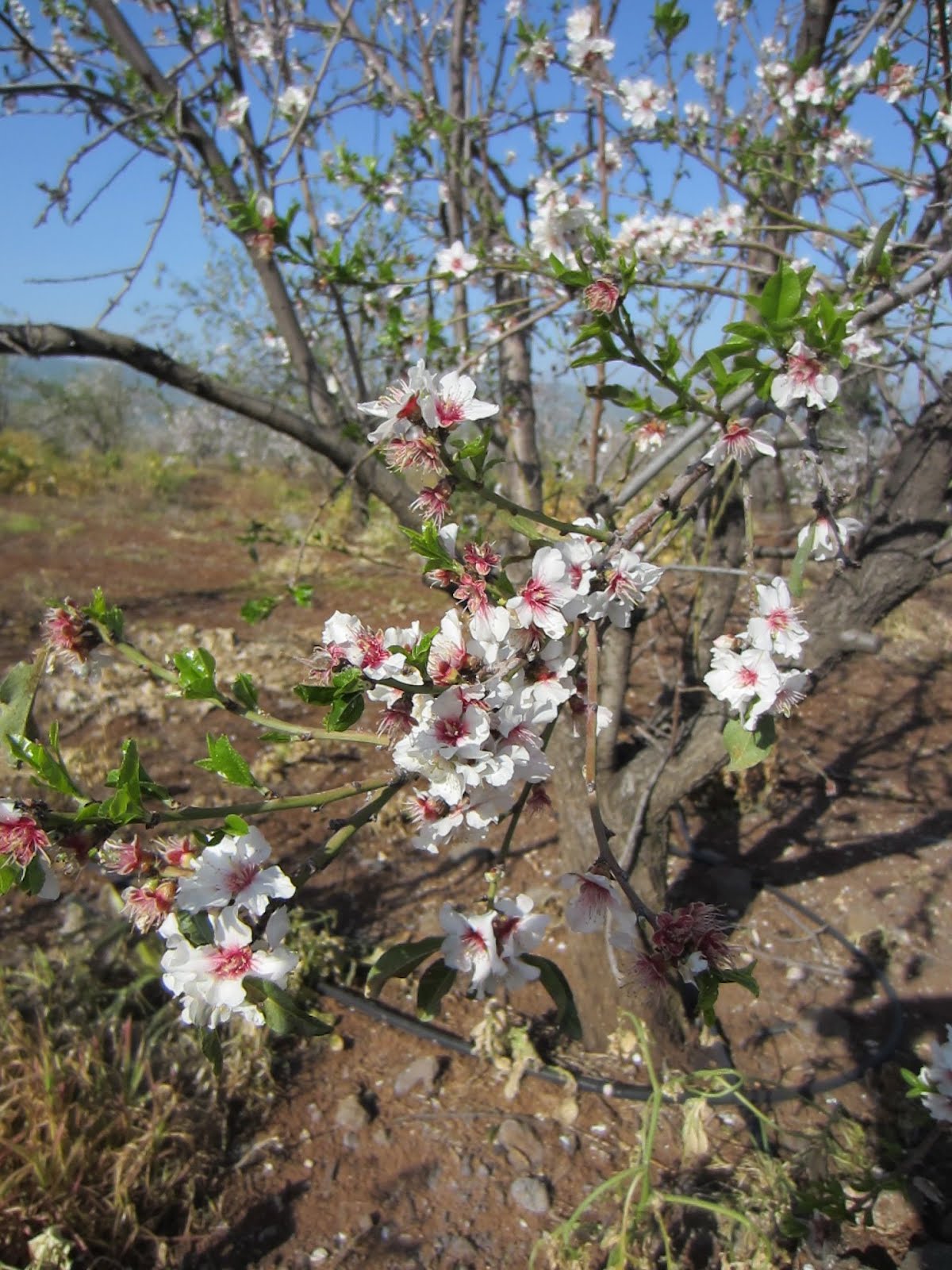
Some time at the Tel of Jezreel (think Queen Jezebel and Naboth's vineyard or Jezebel and his threatening of Elijah the prophet) and then on to the scenic drive on Mt. Gilboa (think Saul and Jonathon being killed on the heights of Gilboa) filled our afternoon.

On the way back up the Jordan valley I saw a sign that seemed to indicate that there was an overview that would allow me to see into Jordan (I've been on the other side of the river, in Jordan, a number of times and wanted to show Greg and Sharon where I had driven there. However, the road came to an end and I took this picture of Greg taking my picture with a Jordanian guard tower in the background!

I can be persistent and so I began to drive around until I found a way I could get closer to Jordan. I ended up on the electrified border fence road (patrolled by the IDF—Israeli Defense Force) and then found myself blocked by this army truck
and soldiers who were testing the fence. They graciously moved the truck off into the mud and let us pass by. Greg took this picture of Sharon and I standing between our van and the fence (we stayed closer to the van than the fence!) with the Jordan River in the background (the other side of the river is Jordanian territory). Through some mud, around some hills and we were back on the highway heading north to "home."

Tonight we took Gary and Cindy out to a wonderful vegetarian restaurant named "Greg" where I had Pizza Spagetti with Sachlav
an Arabic or at least Middle Eastern cream drink with pistachios on top! What a meal, what a day!

Friday, March 2, 2012

Shabbat Shalom from Galilee, Israel

The greeting "Sabbat Shalom" is used by Jewish people on this day to express "may your day of no work be peaceful"! Isn't that a great greeting? The Sabbath began at sunset this evening and we are just about to sit down to a meal that Cindy Bayer (aided by my wife Sharon) have prepared for us.
Last night we went out to a coffee bar/restaurant called "Greg." The pictures shows two young 58 years-olds who are still in love and still wanting to live life to the fullest!
Today Greg and I had a great day of touring (Sharon stayed at the house and read, played the piano and helped Cindy). We headed down to the Mediterranean Coast south of Haifa to an ancient port city named "Dor." It's mentioned in the Bible in connection with Joshua's conquest of northern Canaan (Joshua 11:2; 12:23) as well as in Judges and Kings/Chronicles.
The bay at Dor is pictured here and the rocks in the distance have many archeological remains covering them. The museum at Dor had a great film on the various discoveries made in the various shipwrecks off the coast including cannons from Napolean's army, swords from the crusaders, vessels from the Phoenicians etc.
Then we headed down the coast about 9 miles to Caesarea Maritima where Peter first preached to the gentile Cornelius (Acts 10), where King Agrippa I was eaten by worms after accepting worship as a god (Acts 12:21-23), and where Paul was held for two years before heading to trial in Rome (Acts 24). The storm out in the Med Sea caused waves to wash over the breakwater that protects the remains of the hippodrome (the western side has been reclaimed by the sea) that once held 10,000 spectators. The chariot race in Ben Hur was based on the races here. In some buildings built on the remains of the harbor we watched two films on the history of Caesarea both of which were extremely informative. The Romans, the Byzantines, the Muslims, the Crusaders all built here. Then later it was the Bosnians refugees and finally the returning Jews who all made a home here. Now I was walking along on top of 2,000 years of history and marveling at the ruins.
Driving back by means of the Yokneam Pass through the Carmel range Greg ran down and took a picture of the traditional peak of Mt. Carmel (where Elijah had the contest with the prophets of Baal) from the Kishon River (where Elijah had the 450 prophets of Baal killed). After quick stops at the Horns of Hattim (one of the last battles in which the crusaders were soundly defeated by the Muslims), Capernaum, Cove of the Sower, we drove to Magdala (think Mary Magdalene). This was a village I had never visited since it is not open to the public yetbut for the last two years but there have been almost constant excavations here by Mexican volunteers. Cindy Bayer, the wonderful lady whose home were are staying in, knows the archeologist in charge of the recent work there and "made a call." Three young volunteers from the dig met Sharon, Greg, Cindy and I and showed us around. These young ladies are from Mexico (Ardrea is an up and coming archeologist, Gabriela is a young restorer, and Rosauro is two-year leader/assistant to the director). They spoke great English and were wonderful with their explanations and personal stories of discoveries (such as 80 coins at one place!). You will see there are no pictures of the actual ruins since it is not permitted to take pictures at this time. (The results need to be published officially before this will be allowed.) However, we heard and saw some great finds from 1st century Magdala! (the synagogue here is, I think, one of seven first-century synagogues in the Galilee region (even the one we see at Capernaum is a 3-4th century one). For more information see: http://blog.bibleplaces.com/2009/09/1st-century-synagogue-found-at-magdala.html
As the sun set tonight snow-covered Mt. Hermon appeared out of the clouds in the far north (see pic). Snow-covered Mt. Bental is also visible (we plan to be up on top of this extinct volcano this time next week with the IFL tour) and the north end of the Sea of Galilee can be seen as well.
Tonight we sat at the table for 2 1/2 hours drinking, eating, singing, hearing Brooke's testimony, as we celebrated the Sabbath (Shabbat). It was a very, moving, spiritual refreshing time. Wish you were here.

Thursday, March 1, 2012

Sea of Galilee to Mediterranean Sea


Today I had a great day making a great big circle from the Sea of Galilee, up to the highest mountain in the Galilee (Mt. Merom), along the Lebanese border, to the Mediterranean Sea, down to the city of Acco (in the NT called Ptolemais where Paul stopped at the end of his third missionary journey while on his way to Ceasarea [Acts 21:7]) and then back through Lower Galilee to our "home" overlooking the Sea of Galilee.
As we (Greg Hatteberg and I) headed out this morning the sky was dark and the rain started to come down. The higher we went up into the mountains of Lower Galilee the view would open up and then mist over as clouds passed by. In a time of clearer viewing I took this picture above from road back toward the Sea of Galilee.
The cliffs at Rosh Ha Niqra are beautiful white limestone with flint that function as the northern end of the Asher/Acco Plain. The picture shows the cliffs in the distance. This is the border between Israel and Lebanon. There is a cable car that we rode down to the natural caves that the waves have made in this cliffs. The only trouble was that the stormy sea caused them to close the tunnels that we usually walk through to see the caves. The best I could do was take this picture!
Greg and I drove around Acco viewing the walls and moats of the Crusader city. We walked through the market and stopped to eat some "orange-called" dessert called Knafa. It is cheese and covered with saffron — delicious!
We drove down to Haifa, then east through the Kishon pass into the Jezreel valley. The Kishon river (in flood stage right now as the picture shows) is where Elijah had the prophets of Baal killed after the contest on Mt. Carmel (1 Kings 18:40).
As we drove back to the house I took this picture of the sea-level sign and the south end of the Sea of Galilee in the background to show how it is above 670 feet BELOW sea level! You have to hold your breath when you drive below sea level of course!
Now, off to dinner at a coffee shop called "Gregs" Greg Hatteberg thinks they named it after him!!! Tomorrow we may get a private tour of Magdala from an archeologist there (stayed tuned).

Wednesday, February 29, 2012

Rainbow Over the Sea of Galilee

As I finished my previous post Gary called to us to look out the window at the rainbow. The picture below shows the beautiful rainbow that became a complete arch over the sea. As I looked out and took this picture (the rainbow was too wide to get it completely) it seemed as if I was standing in the middle of the arch. The Bayers like to call spontaneous blessings like this rainbow "kisses from God!" I've felt very "kissed' today as the Lord gave us blessing upon blessing.

Rainy Day on the Golan Heights

Today, my wife Sharon and I, along with our good friend Greg Hatteberg, took a rainy drive up onto the Golan Heights. The Galilee has needed more rain and today they got quite a bit with Mt. Hermon getting even more snow. Our plan was to go up to the ski lift on Hermon but we discovered they had closed the road because of the snow and extremely high winds that could cause accidents. So we adjusted our plans and had a great day despite the rain. We started off by driving up the Yarmuk River Gorge and looked over to the country of Jordan and to where the Decapolis city of Gadara is located. The picture to the right shows my "tendency to teach," even through a fence!
Then it was up a "snake-like" road up to the Golan [OT Bashan], the home of Og, King of Bashan. His bed was iron and about 13 feet long and 6 feet wide (see Deut 3). We stopped at the Peace Vista, an overview of the Sea of Galilee, and then past fertile grain fields as fair as the eye could see. The Golan was part of Syria until 1967 when it was annexed by Israel.
The rain really began to come down so we skipped Gamla (the Masada of the north) which we had seen before and went on to Katzon [Qasrin]. Here we toured a museum, saw two movies of events/history of the Golan and then I went into an Israeli Post Office to exchange some money and pay my $100NIS [about $33USA] parking fine (maybe our Post Office could learn to multi-task like theirs!)
Then we drove down to the Jordan River (the pic shows the north section that runs from Dan to the Sea of Galilee) which used to be the border between Israel and Syria. We had lunch at a small restaurant overlooking the Hula Valley opposite the ancient city of Hazor.
Then we continued down the Jordan River valley to Bethsaida, the hometown of Andrew, Peter and Philip. We saw the NT period city including a fisherman's house (where all sorts of fishing implements where found by the archeologists) and then we saw an iron age (think King David era) city gate. This is the territory where king David got his wife Macaah (2 Sam 3:3, who bore him Absalom, who later fled back here for 3 years [see 2 Samuel 13:37-39).
Finally we drove along the east shore of the Sea of Galilee past the traditional "cliff" where the swine ran down to the Sea of Galilee after being cast out of the demoniac(s) by Christ (see the pic that shows the steep hill towards the sea (— there are great issues to decide however the exact location of this miracle) then to En Gev, then up a winding road to the east up to another Decapolis city — Hippos [Susita]. The picture shows the view from Hippos towards the north end of the Sea of Galilee where Capernaum and the Mt of Beatitudes are located. Ending the tour-day with a coffee at Cafe Aroma we made our way home to "our house" (Cindy and Gary Bayer have just made us feel "at home"!). What a great, rainy, site-filled day on the Golan.

Tuesday, February 28, 2012

Lower Galilee (with Greg Hatteberg and Stephen Bramer)

This morning I woke up at 5:30 am and realized I was waking up in Israel. As the sun rose around 6:30, over the Golan Heights, I walked outside and took this picture from just across the road from the house where we are staying. (The house is pictured below.) Gary and Cindy Bayer are renovating their home and it will be extremely practical and beautiful for hospitality in the future.


As we left today we came across an orchard of almond trees just starting to bloom (see Jeremiah 1) on seemingly dead branches. New life is all around us up here in the Galilee where it has been raining (much needed). We drove past Mt. Tabor (think Barak in Judges), and on to Hill of Moreh (think Saul at En-dor, Gideon against the Midianites, Elisha and Shunum, and Jesus at Nain). On our drive today we stopped in at the village of Nain where Christ raised the widow's son. We visited a closed, old, somewhat rundown church that celebrates this miracle (see picture of church).


We drove on to Nazareth where we visited the Church of the Annunciation [Catholic](see the picture below which shows the traditional grotto where Mary received the message from the angel), St. Joseph's Church, Mary's Well. Then we had a great time walking around Nazareth Village which is an area built up like part of the first century Nazareth. It really gives one an idea of what first century life might have been like. Then on to Beit Shearim, a necropolis city in which 135 sarcophagi (large stone "coffins" for bones) were found in an 80 yard-long system of tunnels and rooms (see the picture below where I am lying in a sarcophigus!).

Well I could go on and on but it is late and a bed is calling. Let me just say we also visited the archeological discoveries at Tzipori (Gk Sepphoris), drove past Cana of Galilee, stopped at MacDonalds for lunch (at 2:45 pm) and then did some shopping! Then we drove back home to relax and to take our wives out for a dinner and a short drive (well — an 35 mile drive all the way around the Sea of Galilee!). All this and I had time to get a parking ticket in Nazareth and get stopped by Israeli Police near Capernaum but these are stories and sermon illustrations for another time!
Tomorrow I think we will take a drive up to Mt. Hermon to see if Lebanon and Syria are behaving themselves!